


District Headquarters: Chautara
Area: 2,542 square kilometers
Population: 287,798 (as per the 2068 BS census)
Rural Municipalities: 9 and Municipalities: 3
There are also two constituencies for the House of Representatives and four constituencies for the Provincial Assembly.
Geographical Location: Hilly
Highest Point: Jugal Himal, 6,966 meters
Lowest Point: Bhimtar
Major Ethnic Groups: Tamang, Sanyasi, Newar, Magar, Chhetri, Brahmin, Hyolmo, Dalit, etc.
Primary Language: Nepali
Secondary Languages: Tamang, Newari, Sherpa, Gurung, Magar, Thami, Majhi, Danuwar, Pahari, Jirel, etc.
Brief Introduction to Sindhupalchok District
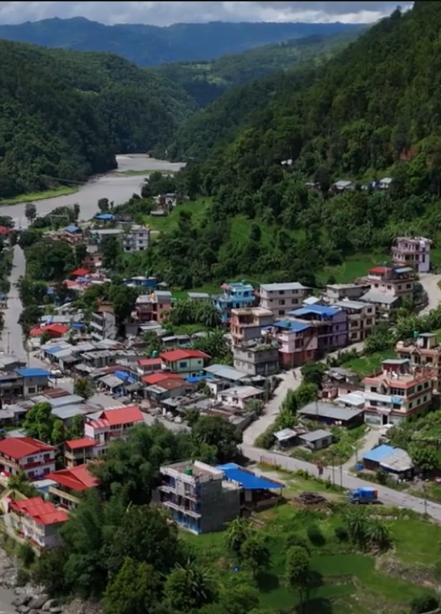
Sindhupalchok is a significant district connected to Nepal's capital. It lies in Province No. 3. The district headquarters is Chautara. Sindhupalchok has three municipalities and nine rural municipalities. Although it is close to the capital, it lags behind in terms of development, making it a backward hilly district.
Naming of the District
Before Nepal was divided into 14 zones and 75 districts, Sindhupalchok district was under the administrative region known as "Purba No. 1." This included areas of both Kavre and Sindhupalchok, with Chautara serving as the main administrative center and Dhulikhel as a sub-center. At that time, there were 40 "Thums" established for administrative purposes, among which were "Sindhu" and "Palchok." The name Sindhupalchok is believed to have been derived from these two Thums.
Geographical Location
Area Percentage: 1.73% of Nepal's total area
Latitude: 27.34° to 28.12° North
Longitude: 85.26° to 86.4° East
Borders:
Area: 2,542 square kilometers
Average Width: 49.38 kilometers
Average Length: 53.06 kilometers (North to South)


The sage Vishwamitra's hermitage was in Panchpokhari. The sage Shringi also meditated near the Himalayas. Once, Narad visited him, but due to the cold, Narad couldn't bathe in the cold water, so Shringi opened a hot water spring.
The daughter of the mountain king, Parvati, used to play on these Himalayan peaks. According to the Himavatkhanda, she once visited Hiranyashekhar mountain, worshipped a sage named Sanatan, and gave offerings. As she did so, a drop of sweat from the side of her lip fell, instantly turning into a yellow river that flowed through the hills; this is the Sunkoshi River. Once, King Indra left his throne in heaven and came to meditate on the riverbank. In his absence, heaven fell into disarray, and Indrani came down and began to lament. Hearing her cries, Indra changed his mind and returned to heaven to resume his reign. Since Indra changed his mind, the river was named Indravati.
Beyond these, various historical figures are associated with the sacred sites, battlefields, and borders of this district. Among them are Rajarajeshwari (the first queen of Ranabahadur Shah) who was exiled to Helambu, General Bhimsen Thapa in Bhotang, Abhayanand Swami (famous as General Ranbir Singh Thapa), the brutal murder of Kazi Bhim Malla at the confluence of the Sunkoshi and Indravati rivers, and the curse of his wife—these are events that will not be forgotten for centuries.